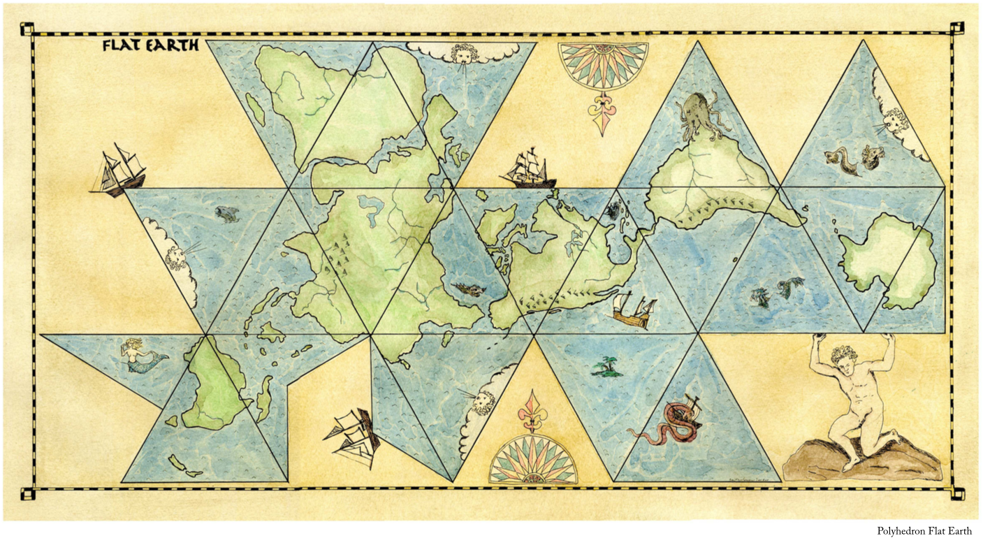
Polyhedron Map
There are many different ways that members of the FESC have imagined the Flat Earth can be drawn on a map. This artifact is the first of three maps that serve as alternatives to the popular “Globe” format. All the maps were drafted by Bartholomew Seeker.
The first map format is the Polyhedron. The map is a 15x28.5 inch ink illustration and watercolour painting by Bartholomew Seeker of the Polyhedron model of the flat earth.

